InfrastructureLatest Stories

Illegal walls, buildings cleared from protected Aravali land

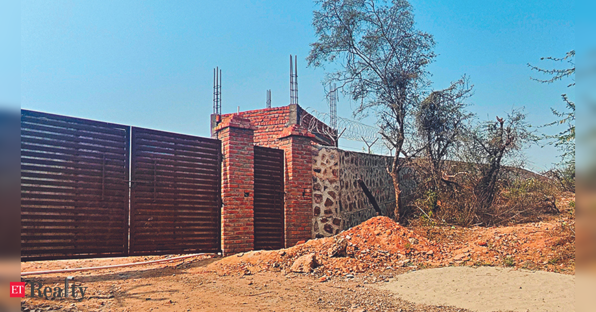
Representative Image GURUGRAM: On Thursday, approximately three acres of protected Aravali land in Behrampur village were liberated from illegal occupation. In a significant anti-encroachment operation in recent years, the forest department demolished 11 unlawful structures including buildings under construction and boundary walls. The demolitions occurred on land classified under sections 4 and 5 of the Punjab Land Preservation Act (PLPA), which is designated as part of the Aravali Plantation, where non-forest activities require statutory approvals. Using earthmovers, officials dismantled newly constructed brick structures and walls on the protected land. By midday, site debris including broken bricks and twisted steel bars…

InfrastructureLatest Stories

New Buildings Found on Protected Forest Land in Anangpur

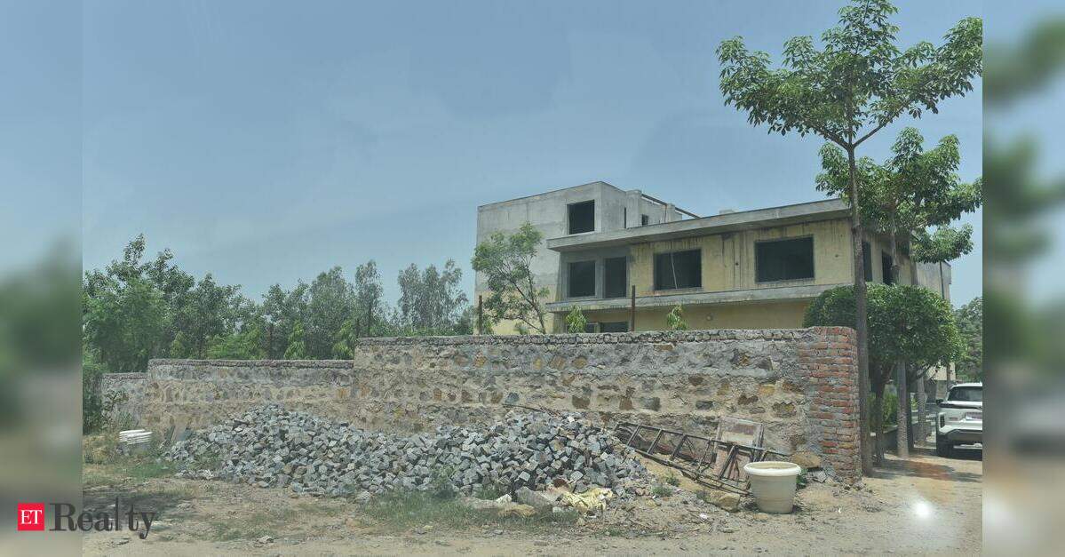
GURUGRAM: New construction activities have emerged in the protected forest area of Anangpur village. Observations during a site visit revealed recently erected structures, extensive boundary walls, and indications of ongoing development within a region governed by the Punjab Land Preservation Act (PLPA), which has been the focal point of numerous legal disputes regarding encroachments in the Aravalis. During an inspection, TOI discovered a substantial multi-story building nearing completion, along with newly plastered compound walls surrounding significant land parcels and signs of ongoing masonry work. The land records confirm that these constructions are within a PLPA-designated area. This new development occurs…

Latest StoriesResidential

Survey to Focus on Current Areas, Not New Claims in Haryana

GURUGRAM: New constructions or expansions are excluded from an ongoing exercise designed to identify residential areas within the notified Punjab Land Preservation Act (PLPA) zone in Anangpur, Faridabad. Officials engaged in ground-truthing to determine residential areas noted attempts by some residents to extend their property boundaries. As a result, they emphasized that such modifications should not skew the findings of the exercise. A ground-truthing exercise verifies and validates information derived from remote sources like satellite imagery or official documentation to ensure that the data accurately reflects the current state of the land. Officials have directed that the focus remain on…