
NAGPUR: The Existing Land Use (ELU) assessment by the Nagpur Municipal Corporation highlights significant flaws in urban planning in Maharashtra’s second-largest city. Over the past 25 years, only 15% of the 893 proposed reservations under the city’s Development Plan (DP)-2000 have been executed.
Out of the 138 developed reservations, 556 remain unutilized, while 199 intended for public amenities have been impacted by encroachments, which were later regularized via Gunthewari layouts.
The findings will inform the upcoming revised Development Plan for Nagpur, raising concerns about how the city’s planning framework has largely remained theoretical for decades.
According to officials, many reservations were modified, re-designated, or eliminated during the Nagpur Improvement Trust’s (NIT) oversight—before authority shifted to the NMC. Many reserved plots were absorbed into residential areas, while others faced unauthorized encroachments and sporadic regularization.
An in-depth analysis of the 138 reservations tagged as “developed” shows that most pertain to basic civic infrastructure. This includes 51 playgrounds, 24 primary schools, 11 secondary schools, eight community centers, six parking reservations, five parks, and four markets. Additional developments included police stations, stadiums, crematoriums, transportation facilities, utility services, and educational institutions.
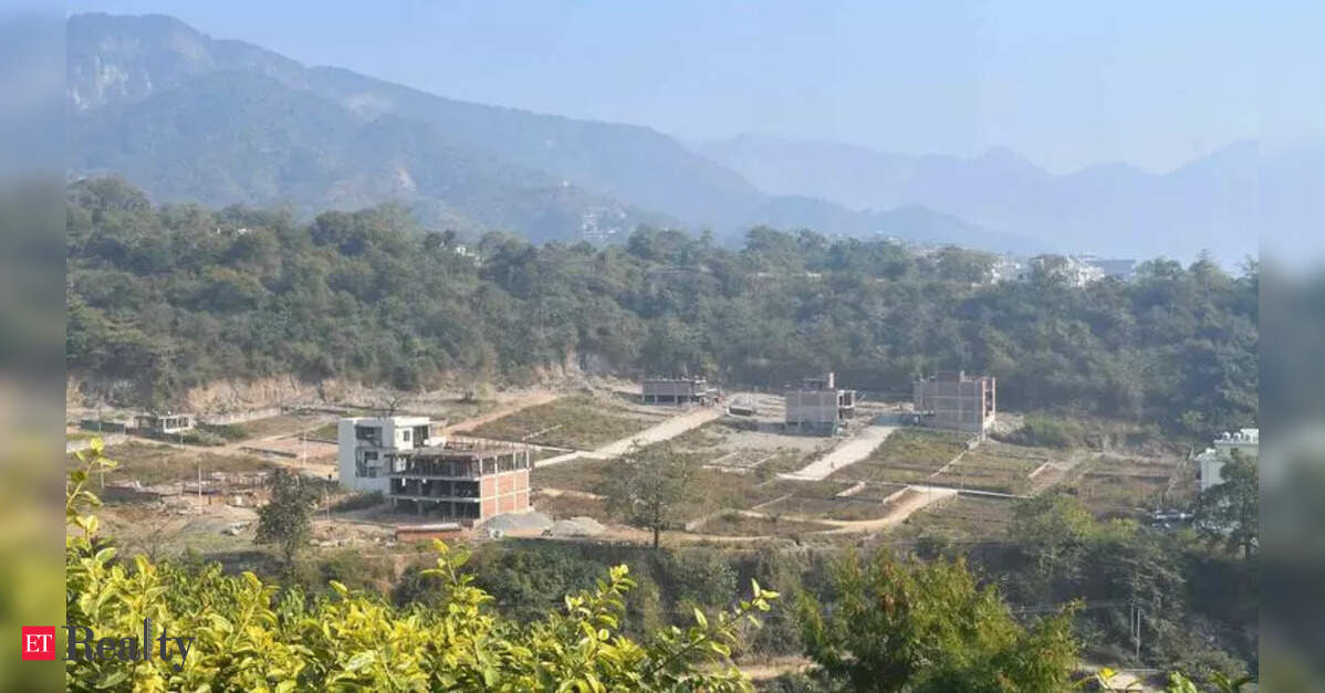
Notable projects on reserved land include the Mankapur Indoor Stadium (approximately 11.88 hectares), the Kalamna market expansion (about 58.5 hectares), the Bhandewadi dumping yard (over 36 hectares), the Mor Bhavan bus stand, and the Chinchbhuvan crematorium.
However, the ELU records suggest that several reservations no longer fulfill their original purposes.
Many sites designated for playgrounds, gardens, and public utilities have been repurposed for overhead water tanks, institutional buildings, commercial complexes, and mixed-use developments. In Pardi, a playground reservation is now home to an overhead water tank, while another has been absorbed into a residential area. Similarly, in Dharampeth, a parking site currently accommodates CBI and ISRO residential quarters; in Lendra, professional body-linked reservations evolved into what is now Central Mall.
Reservations in regions like Parsodi, Somalwada, Babulkheda, Chikhli, Bhamti, and Manewada are now partially occupied by residential structures, community halls, or commercial ventures. Several ELU entries highlight remarks such as “partly occupied,” “remaining residential,” “included in R-zone,” and “reduced,” pointing to the gradual loss of land designated for public use.
Urban planners emphasize that these planning oversights have manifested in Nagpur through reduced open spaces, increasing traffic congestion, heightened pressure on civic infrastructure, and rampant urban sprawl.
This situation has worsened due to overlapping authority among agencies like NMC, NIT, Smart City, MahaMetro, and MADC, resulting in years of administrative confusion and delays. Civic officials have previously stated that reconciling legacy land records from NIT significantly hindered the completion of the ELU exercise.
The process for the revised Development Plan is currently under scrutiny due to allegations of deleting nearly 186 public utility reservations, which includes areas intended for schools, gardens, parking facilities, and civic amenities.
As the statutory deadline for finalizing the revised Development Plan is extended to May 31, 2026, planners warn that Nagpur is swiftly approaching a point where its remaining public spaces could be permanently lost to encroachments and unregulated urban development.