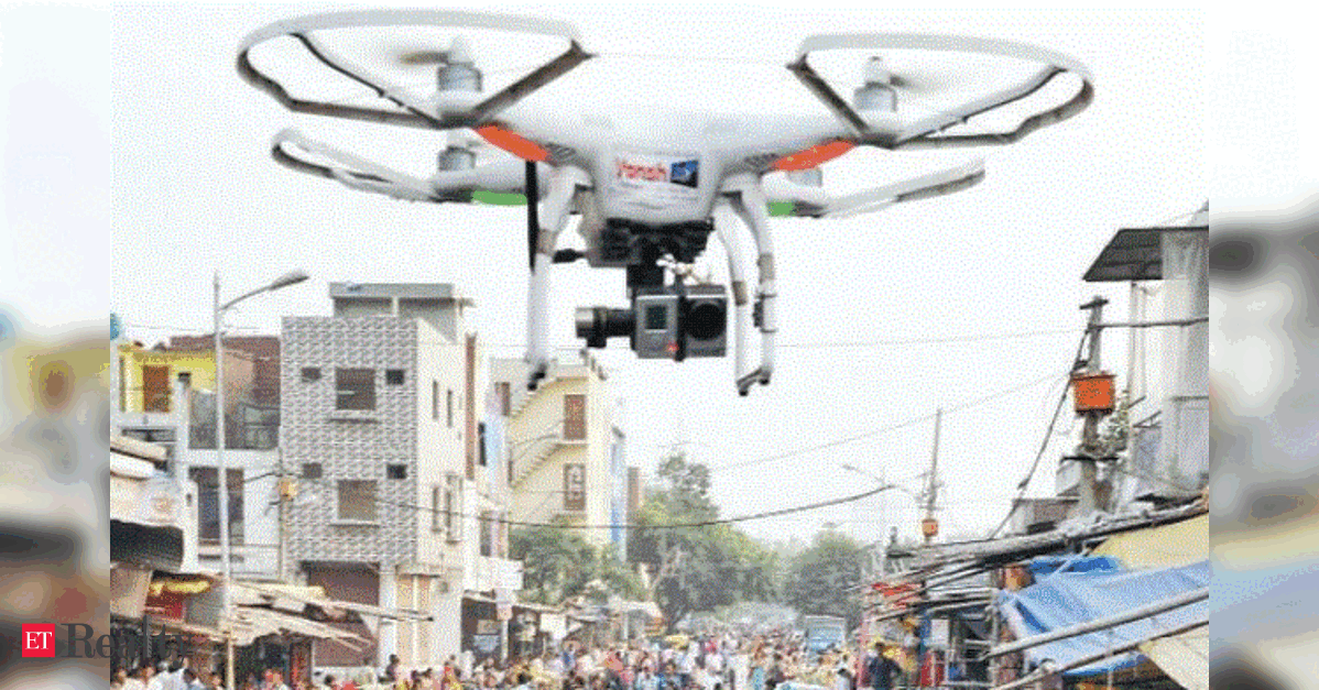
Delhi’s Drone Property Survey Pilot Project to Launch Soon
NEW DELHI: The Municipal Corporation of Delhi (MCD) is initiating a pilot project utilizing drones and advanced mapping technologies to enhance property tax assessment. Officials note that this initiative aims to identify properties that have not been assessed or are under-assessed, thereby addressing revenue losses. This pilot project follows the signing of memorandums of understanding (MoUs) with four agencies on June 2, under the “Pilot Drone-based Geospatial Survey and Digital Twin Initiative.” The agencies will independently carry out surveys employing drone-based aerial imagery, LiDAR mapping, GIS asset mapping, Digital Twin technology, 3D city modeling, and advanced data analytics, with no…