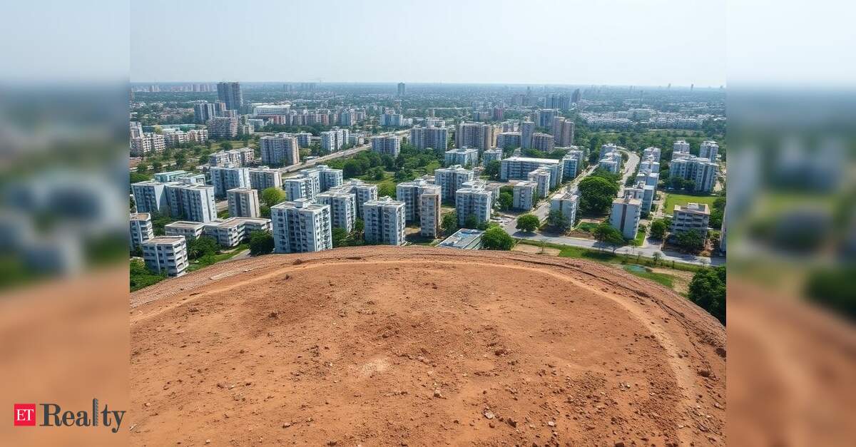

NEW DELHI: The Delhi government is surveying Lal Dora areas (village Abadi land) to create digital records, with plans to issue smart property cards to owners, addressing a longstanding issue, as stated by Chief Minister Rekha Gupta on Tuesday.
Gupta noted that 48 villages are included in the SWAMITVA scheme, established through an agreement with the Survey of India. Surveys in 30 of these villages have been finalized, and their respective property cards have been developed.
The government will provide SVAMITVA PVC property cards as per UIDAI standards. These cards will include data such as the Property Identification Number (PID), date of issue, village, sub-division, district, resident name, father’s or husband’s name, property share, total area, built-up area, open area, Bhu-Aadhar number, co-occ occupant details, and contact number.
Under the SVAMITVA (Survey of Villages and Mapping with Improvised Technology in Village Areas) initiative, a detailed property survey will be conducted, resulting in the creation of digital records and the issuance of smart property cards to qualifying property owners.
Lal Dora areas in Delhi are designated village habitation zones, marked in red in revenue records, intended for both agricultural and non-agricultural uses, albeit with construction restrictions.
The Chief Minister mentioned that years of lack of systematic and verified property records in Lal Dora zones have led to significant challenges for residents. The government plans to distribute smart property cards to eligible recipients soon, as per a statement from the Delhi CMO.
The integration of digital signatures and the rollout of smart property cards is in its final phases. Surveys have been completed for 12,232 properties, with 8,423 of them, nearly 69%, being free of disputes, according to the Chief Minister’s report.
All surveyed properties in the South and North West districts are dispute-free, while efforts continue in other districts to resolve disputes and advance the process. Chief Minister Gupta emphasized that this initiative transcends mere paper records, relying on a cutting-edge digital framework. It begins with the demarcation of Lal Dora boundaries, followed by an aerial survey via drones conducted by the Survey of India.
Officials from the revenue department will then validate the drone-generated maps with on-site inspections of the properties. Any inconsistencies found will be communicated to the Survey of India for correction.
Each property will receive a unique Property Identification Number (PID), after which an official property card will be generated and sent to the relevant occupant.
This entire record will be integrated with the Delhi Online Registration Information System (DORIS) in real time, guaranteeing continuous updates of the property records, she added.
Every smart property card will include a QR code. Scanning it will reveal the complete Digital Form-13 for the property, featuring a detailed property sketch, north-south-east-west boundaries, neighboring property PIDs, Khasra number, co-occupants’ information, the Tehsildar’s digital signature, the official seal, and a legally valid Certificate of Occupancy under Section 36 of the Delhi Abadi Deh Survey and Record Management Rules, 2025.
Gupta remarked that the initiative aims not only to provide citizens with secured digital property records but also to enhance transparency, security, and ease of verification for property-related information.