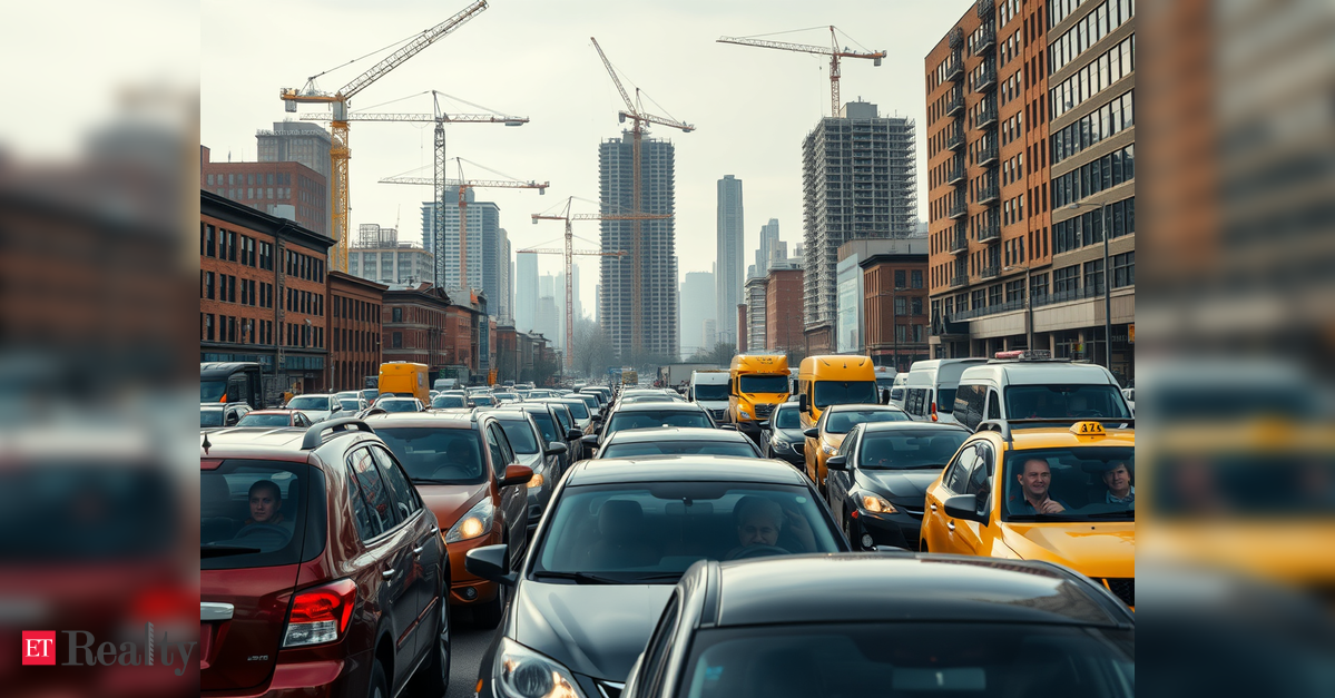
CHANDIGARH: The Chandigarh administration’s initiative to revise the city’s development regulations brings to the forefront a crucial question highlighted in its own planning documents: Where will the increased traffic be accommodated?
The proposed amendments to the Chandigarh Master Plan (CMP) 2031 aim to reshape the urban environment with elevated Floor Area Ratios (FAR), taller buildings, and mixed-use developments. Additionally, it includes converting reserved lands for commercial purposes.
While the administration argues that these changes are essential for future housing and economic demands, an analysis of official planning documents and traffic studies uncovers a significant oversight: large-scale densification has been proposed without confirming whether the city’s transportation infrastructure can handle the anticipated influx of residents and vehicles.
The lack of a comprehensive Traffic Impact Assessment (TIA) has emerged as a prominent concern expressed by residents’ associations and urban planning experts. Their apprehensions are substantiated by the administration’s own records.
The Chandigarh Master Plan 2031 cautioned that the city’s transport system was nearing capacity, highlighting specific corridors—such as Madhya Marg, Dakshin Marg, and Udyog Path—as potential future congestion points, primarily due to increasing vehicle ownership.
Even at the time the master plan was drafted nearly a decade ago, Madhya Marg had recorded a volume-to-capacity (V/C) ratio of 1.2, while Udyog Path reached 1.1—both surpassing their intended capacity. The document clearly stated that most major roads had been expanded to their practical limits, leaving little room for further growth.
A recent RITES mobility study confirms that these warnings have materialized.
Key roadways in Chandigarh and the broader Tricity area are currently functioning at or beyond their design capacities. The Kharar-Banur Highway recorded a V/C ratio of 1.3, while the Ropar-Chandigarh Road reached 1.2.
A V/C ratio exceeding 1.0 indicates that demand is outstripping road capacity, leading to persistent congestion, longer travel times, and diminishing service levels.
Despite these findings, the proposed amendments recommend intensifying development throughout the city without presenting any available traffic capacity studies to the public.
This contradiction becomes more apparent when scrutinizing the city’s traffic patterns.
The RITES Comprehensive Mobility Plan of 2009 indicated that nearly 70% of all motorized trips were made via private vehicles due to a lack of efficient public transport options in Chandigarh.
Regrettably, the situation has worsened over time.
The 2024 RITES report reveals that private vehicles account for 78.4% of all passenger trips. During peak hours at major intersections, their proportion soars to 90%, while buses represent only 0.4% to 2.6% of the traffic.
“Traffic from the sectors, the region, and beyond converges on V-2 and V-3 roads, which will suffer from congestion due to increasing reliance on private transportation,” the RITES report advises.
The Chandigarh Master Plan reiterates this concern: “Chandigarh’s road network is under significant strain from the rapid growth in private vehicles… Limited road space exists within the current built-up area,” the document notes.
These limitations are evident on the ground.
Average peak-hour speeds have plummeted to approximately 28 km/h, while a CEPT University study estimates city speeds at just 23 km/h during morning peaks and 20 km/h in the evening rush. Himalaya Marg, a key route between Chandigarh and Mohali, averages a dismal 14.6 km/h.
Traffic signals contribute significantly to congestion. According to RITES, poorly synchronized signals cause 71% of delays during peak hours and 88% during off-peak times, overshadowing delays purely caused by traffic congestion.
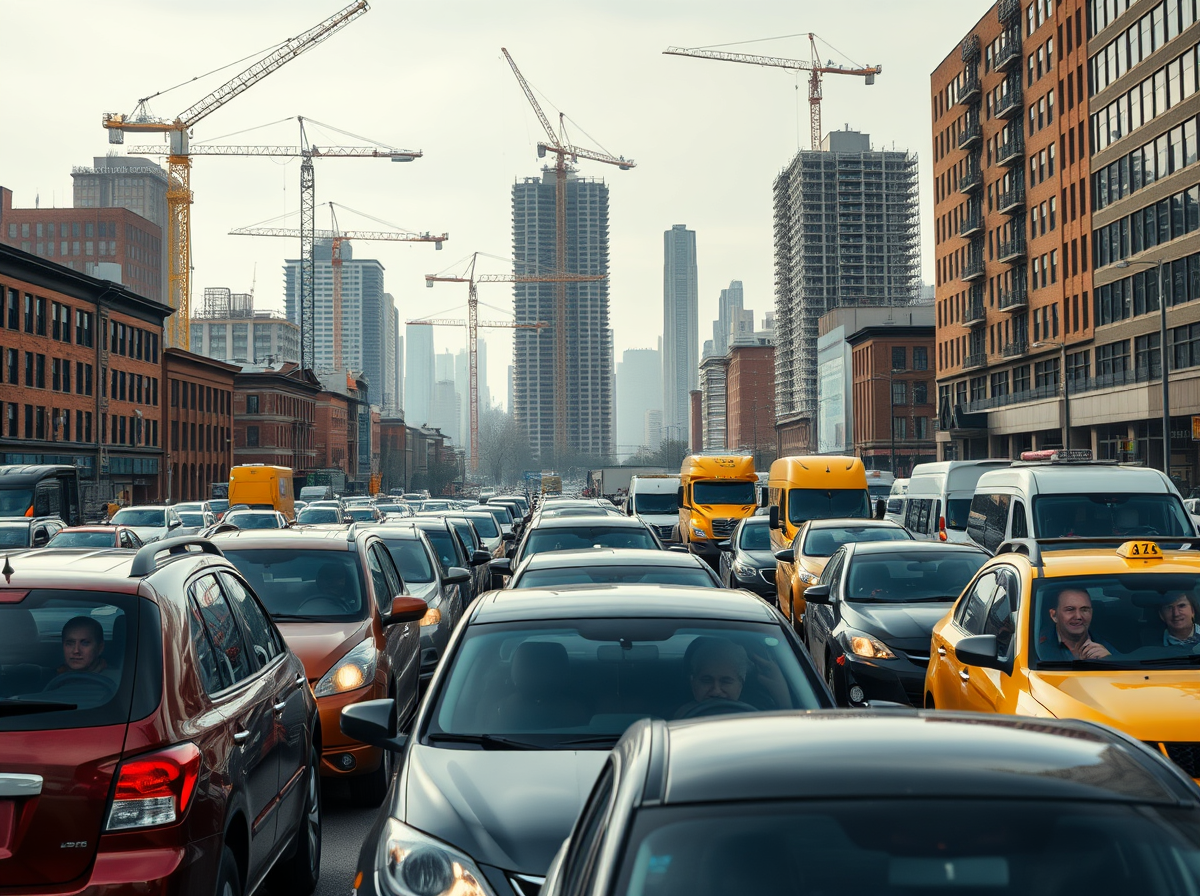
Despite these issues, the projected amendments would bring thousands of additional residents, businesses, and commercial establishments into the same road network.
Urban planners contend that increasing FAR, building taller structures, and promoting mixed land use inevitably lead to more vehicle trips, heightened parking demands, and increased strain on neighborhood V-4 and V-5 roads originally designed for low-density residential areas.
Long-Delayed Mass Rapid Transit System (MRTS)
This proposal raises a lingering question: Why is Chandigarh pursuing higher urban density without first implementing the mass transit system that has been recommended for decades?
The master plan consistently concluded that the road network had limited capacity for expansion and future mobility depended on a robust public transport system. Yet, more than 15 years after the proposal for the Tricity Metro was first introduced, the project remains mired in bureaucratic indecision.
The cost of this delay has been significant. Initially estimated at around Rs 10,500 to Rs 11,000 crore, the RITES’s latest estimates now exceed Rs 23,263 crore for a fully elevated system and Rs 27,680 crore for a partially underground alignment, with the final costs projected between Rs 25,631 crore and Rs 30,498 crore, excluding land acquisition and rehabilitation costs.
While the Metro remains on paper, several mobility reforms recommended by expert studies—including a comprehensive parking policy, scientific parking management, park-and-ride facilities, and Bus Rapid Transit System (BRTS) proposals—have also stalled in the planning phase.