Centre Seeks Nod for Drone Mapping in 353 Karnataka Villages
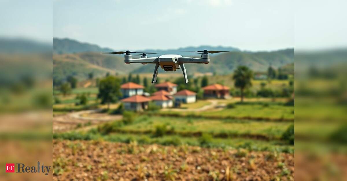
Representative image created by AI BEGNALURU: The state government is making significant strides to expedite property surveys through the Centre’s SVAMITVA scheme, seeking approval from the Union Ministry of Civil Aviation (MoCA) to operate drones over 353 red zone villages. These villages are close to sensitive locations such as airports, military bases, and other high-security areas, requiring prior clearance for drone operations. This initiative is part of a broader plan to complete aerial surveys in all 30,715 villages by March 2026, aiming to establish legal ownership records and address rural land disputes. Union Panchayat Raj Minister SP Singh Baghel recently…
