CHANDIGARH: With less than 10% of Chandigarh’s land reserved for future growth, the UT administration has initiated a thorough assessment to catalog every vacant and designated plot for residential, commercial, and institutional development. This initiative aims to maximize land utilization amidst increasing demands for sustainable urban expansion.
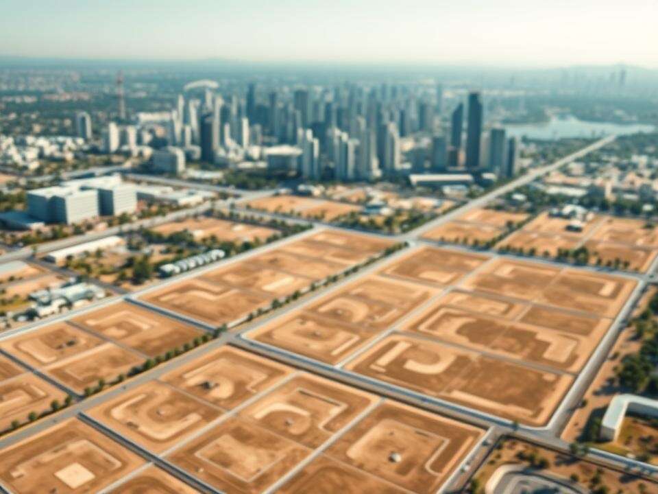
Significant parcels of land available in the UT include roughly 500 acres in Phase III of the city that remain undeveloped. A substantial portion of this is designated for residential use by the Chandigarh Housing Board (CHB), while another portion is reserved for transit-oriented development (TOD). Additionally, both acquired and unacquired land exists in the IT park.
The Chandigarh Master Plan (CMP-2031) has earmarked 17 areas in the outskirts for potential development. Approximately 3,000 acres have been identified, with around 1,600 acres still available for future use. This land information is being leveraged for discussions with the central government regarding land utilization policies.
“Given the limited land resources, discussions are underway with the Centre regarding constraints like floor area ratio, coverage area, and other factors to optimize land use. The Centre is advocating for effective land utilization for urban development,” stated a UT official.
In a recent review led by Punjab governor and UT administrator Gulab Chand Kataria, the emphasis was placed on effectively using vacant and designated lands for sustainable urban living and public welfare initiatives. The Administrator inspected several vacant land sites, including a 70-acre mixed-use development in Sub-City Centre, Sector 43, and IT Habitat at IT Park, as well as several key locations in Sector 54.
Officials were directed to ensure proper zoning, planned utilization, and readiness for future development. Previously, the UT chief secretary had instructed officials to identify available vacant land within the city.
Of the total area covered by the Master Plan, 58.3% falls under planned development, while 41.6% lies in the peripheral area. In the planned sectors, Phase I constitutes the largest portion at 33%, while Phases II and III account for 25% each. The peripheral area includes village abadis, agricultural land, and regions of both planned and spontaneous development, totaling approximately 12,000 acres.
In Phase I, the residential component occupies the largest percentage of land at 42.69%. In Phase II, this figure rises to 67%, and in Phase III, residential areas cover 75% of the total land.