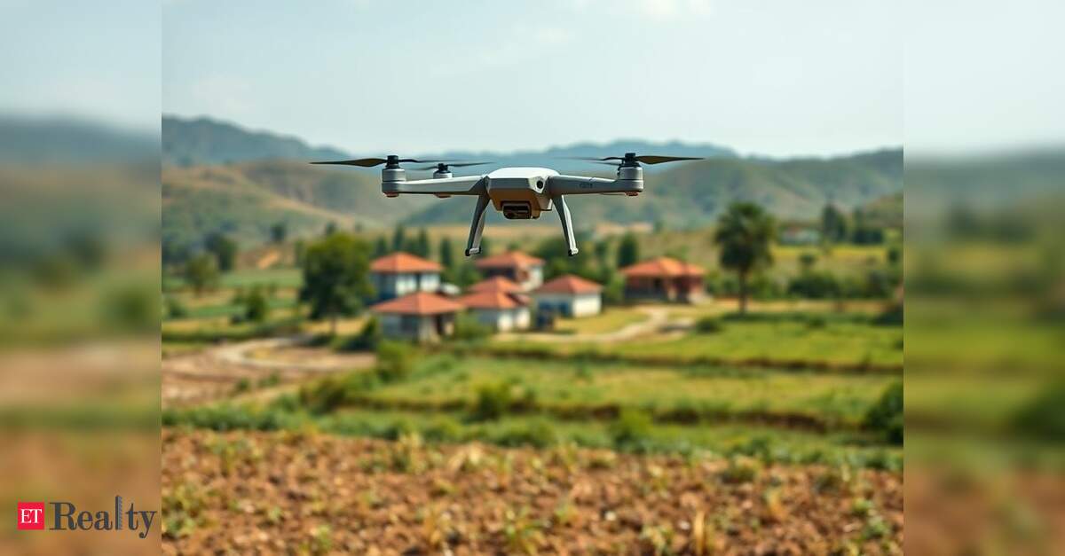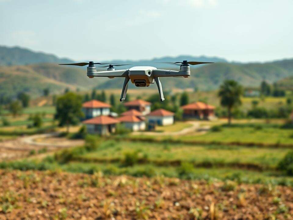
BEGNALURU: The state government is making significant strides to expedite property surveys through the Centre’s SVAMITVA scheme, seeking approval from the Union Ministry of Civil Aviation (MoCA) to operate drones over 353 red zone villages.
These villages are close to sensitive locations such as airports, military bases, and other high-security areas, requiring prior clearance for drone operations. This initiative is part of a broader plan to complete aerial surveys in all 30,715 villages by March 2026, aiming to establish legal ownership records and address rural land disputes.
Union Panchayat Raj Minister SP Singh Baghel recently informed the Rajya Sabha that Karnataka, in collaboration with the Survey of India, has filed a formal request with MoCA for drone flights in these restricted zones. Upon receiving approval, the surveys in the other villages will commence immediately, with MoCA expected to grant clearance with certain operational conditions, as conveyed by officials.
As a flagship initiative, the SVAMITVA scheme utilizes drone technology to delineate residential areas in rural locales, producing property ownership cards and providing clarity regarding land rights. By the end of July, surveys in 23,338 villages had been completed, according to data from the state’s Survey Settlement and Land Records (SSLR) department. The ongoing work is being conducted in partnership with the Survey of India.
J Manjunath, SSLR commissioner, stated to TOI: “For the first time, the government is surveying properties located within the gramthanas (village boundaries) and residential properties adjacent to them. After the drone survey, field surveyors will conduct on-site surveys with community cooperation and prepare a comprehensive village map detailing all property-related information, including drainage systems.”
Manjunath added that residents will have an opportunity to correct any discrepancies before the final property cards are issued. “Once we complete the surveys and verify property documents from owners and gram panchayats, we will generate draft property cards for distribution. Should there be any disputes, corrections will be made based on supporting documentation, leading to the finalization of property cards,” he explained.
According to the revenue department, draft property cards for 10.2 lakh properties have already been created in 4,125 villages. Work on the remaining villages will commence once MoCA provides the necessary approval.
