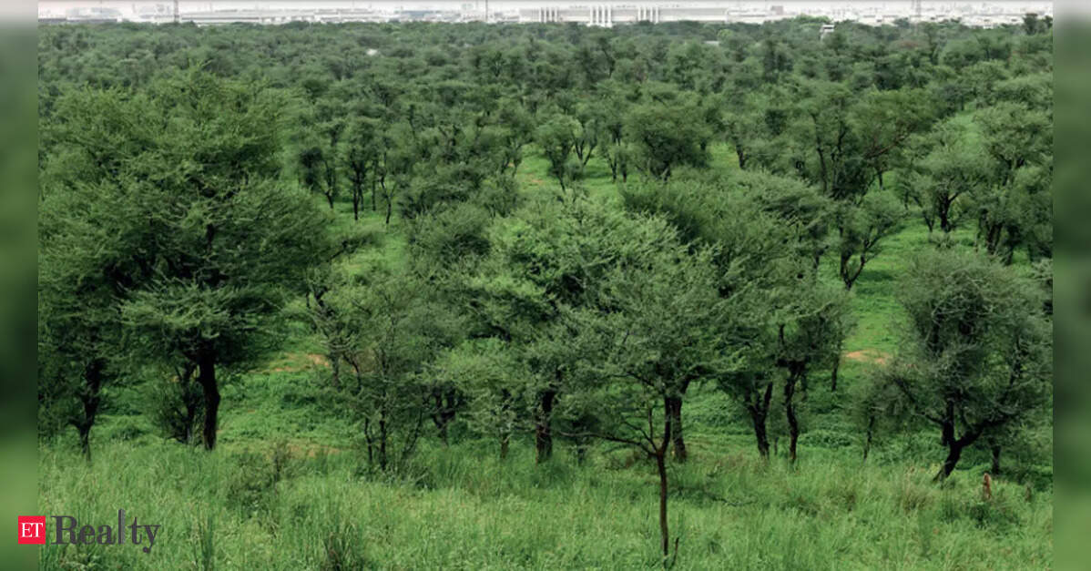
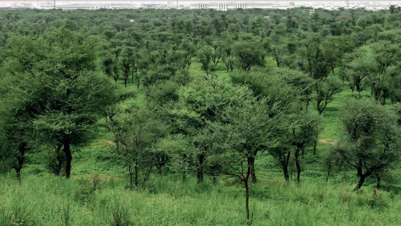
PANAJI: The Town and Country Planning (TCP) department has begun a significant initiative to designate over 82.8 lakh square meters of land in Goa as non-developable areas. This action marks the largest preservation effort in recent years aimed at safeguarding ecologically sensitive and fragile lands from future development.
A new notification issued under Section 39A of the Goa Town and Country Planning Act outlines the conversion of extensive parcels in Salcete, Mormugao, Sattari, and Pernem into “non-developable area” classifications.
The TCP board approved these proposals on May 4, and there will be a 30-day period for public input regarding the suggestions and objections.
The largest area identified for non-development is in Keri, Sattari, encompassing 65.31 lakh square meters of land recognized for its natural attributes, including no-development slopes and regions overlapping with irrigation command zones across different survey holdings.
The second-largest area is located in Mandrem, while Pernem has proposed 6.44 lakh square meters of orchard land and adjacent non-development slopes as non-developable.
This notification also includes a significant cluster of contiguous survey holdings in the coastal village.
Based on recommendations from the forest department, TCP Minister Vishwajit Rane stated, “We have marked all ecologically sensitive areas where construction should not occur, ensuring their protection for future generations. Areas along the banks of the Zuari and Mandovi Rivers, as well as smaller rivers, will also be safeguarded.” He emphasized that this is a historic decision coordinated with the forest department.
In South Goa, substantial stretches of ecologically sensitive coastal land in Majorda and Gonsua, both in Salcete taluka, are designated for protection. In Majorda, approximately 2.5 lakh square meters has been earmarked as non-development zone, including sand dunes, orchards, paddy fields, water bodies, and land within irrigation command boundaries. The proposal also incorporates several plots already classified as fragile coastal terrain.
Similarly, Gonsua has another 1.95 lakh square meters proposed as a non-developable area, primarily consisting of khazan land, paddy fields, orchards, and low-lying irrigation command regions across various survey holdings.
“We will maintain and protect low-lying areas and paddy fields totaling around 10 crore square meters, with no activities beyond farming allowed,” Rane declared.
As part of this conservation initiative, 6.63 lakh square meters on Sao Jorge Island in Mormugao taluka, currently classified as protected and reserve forest with heritage features, has been formally designated as a no-development zone.
Rane mentioned he directed the TCP department to classify all salt pans as no-development zones, preventing any construction. “We must not allow what occurred when Birch transformed salt pans into settlement zones in the Regional Plan. How did Birch acquire permission for salt pan development?” Rane questioned.
This notification represents a notable shift from previous TCP actions, which primarily focused on converting orchard and natural cover areas into settlement zones. The current proposal arises amidst growing public frustration concerning the TCP department’s incremental reclassification of orchards and natural landscapes.
Just eight days earlier, the TCP department classified over 28.4 lakh square meters in Bardez and Pernem as non-developable under Section 39A of the Town and Country Planning Act while retaining land in settlement zones as per the Regional Plan 2021.