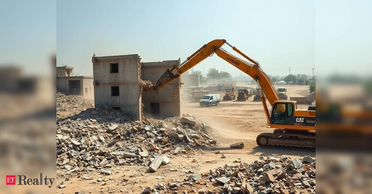
PANAJI: The Town and Country Planning Department will transform the current outline development plans (ODPs) for Margao and Mormugao into comprehensive GIS-based masterplans as part of the Centre’s Amrut 2.0 initiative. This effort will digitally map both cities, integrating data-driven blueprints that encompass land use, infrastructure, transportation, housing, and employment.
The initiative is part of a sub-scheme under Amrut 2.0, aimed specifically at Class II towns with populations ranging from 50,000 to 99,999. Fully funded by the Ministry of Housing and Urban Affairs, this scheme focuses on towns that were excluded from the original Amrut mission launched in 2015, which primarily targeted metro and Class I cities.
For Margao and Mormugao, the project will involve converting their existing ODPs into a GIS-based urban database addressing 25 socio-economic and physical parameters, as well as developing a complete statutory masterplan in accordance with the Goa Town and Country Planning Act of 1974.
TCP officials anticipate that the conversion of the ODPs into masterplans will take over a year, beginning with the appointment of a consultant.
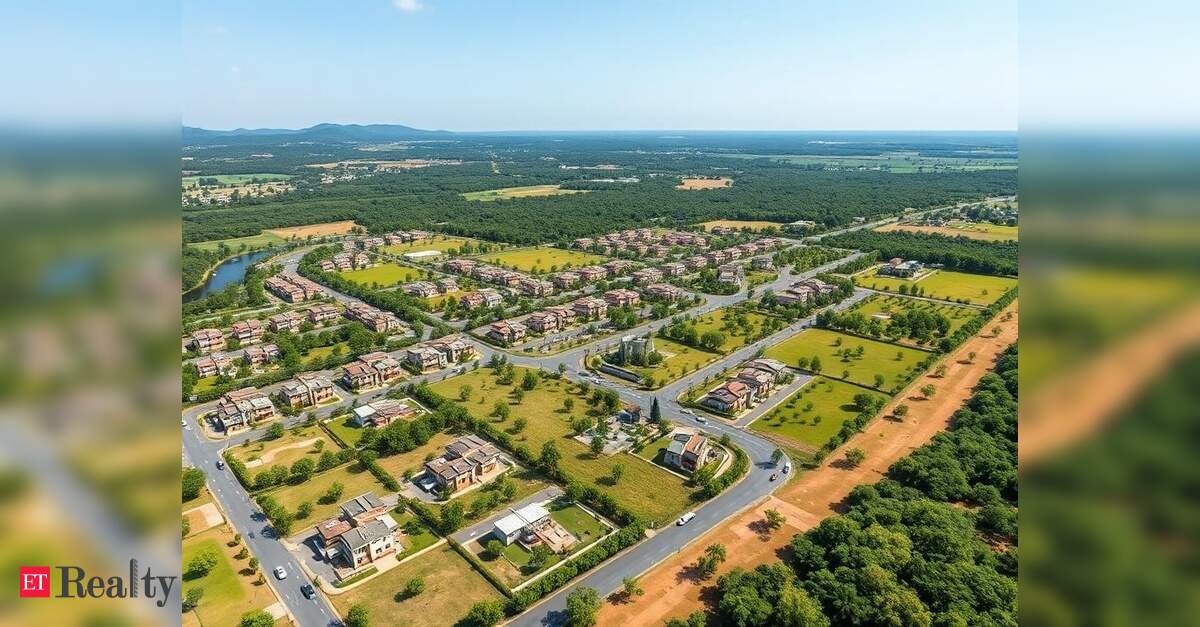
The masterplan for Margao will encompass an area of 82 square kilometers, including both the municipal area and the surrounding urban peripheries. In contrast, the TCP is exploring the Vasco da Gama planning area for Mormugao, which includes 42.4 square kilometers of municipal and panchayat territories.
The masterplans will detail aspects such as population growth, employment rates, industrial sectors, commercial activities, educational institutions, healthcare facilities, transportation networks, water supply, sewage systems, waste management, parks, heritage sites, agricultural land, forest areas, and government-owned vacant properties. The process will also include primary surveys focusing on land use, traffic, transport, and household data collection.
The entire initiative will be conducted digitally, utilizing an integrated mobile application developed by the Ministry of Housing and Urban Affairs in partnership with the Indian Institute of Remote Sensing, Dehradun. This app will facilitate field data collection, vetting of attributes, and incorporation of satellite imagery.